|
District NRDMS Center,
Yadgiri
O/o Zilla Panchayath, Yadgiri,
D.O.C Building, Vidhana Soudha,
Room No: B13, Chittapur Road, Yadgiri District, - 585202
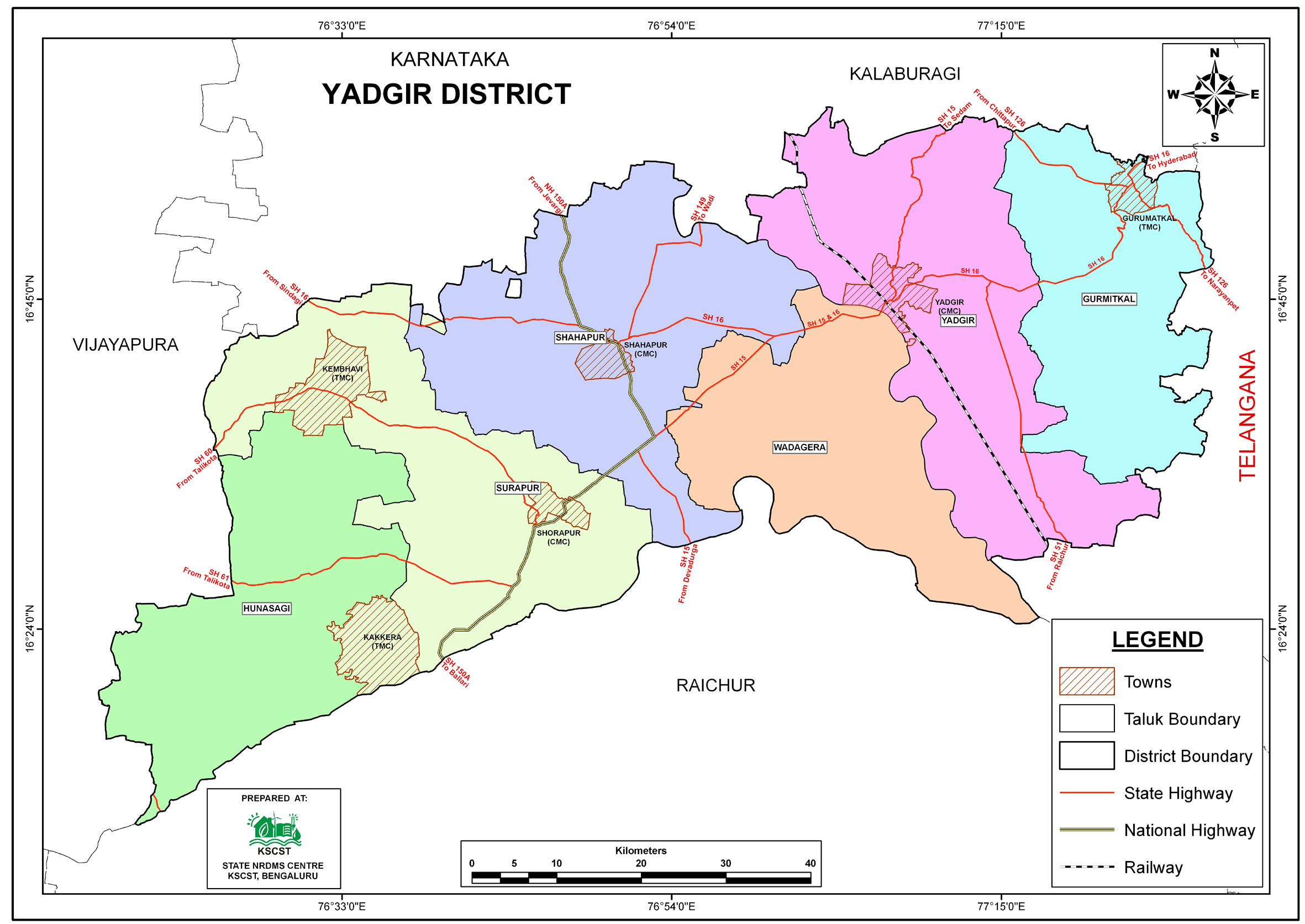
Introduction
The
Yadgiri district NRDMS Centre was established in
the year 2009-2010
at Office of the
Yadgiri
Zilla Panchayath
with financial support from Department of Science and
Technology, Government
of India, Implemented by K.S.C.S.T, Bangalore with active
support from Department
of Science &
Technology, Government
of Karnataka. The main objective of the centre is to create
the digital database on Natural resources, Demography, Agro &
Socio economy and infrastructure facilities of the
District to provide analysed information to the district
administrators, Zilla panchayath, line departments, Academic
institutions and NGOs in Natural resources management and
rural development planning with the help of GIS and
other advanced scientific technologies.
Activities carried
out at District NRDMS Centre
-
The primary
objective of District NRDMS Centre under NRDMS Project is to
create Extensive database on Spatial Database (Maps) and Non-Spatial
Database (Attribute data) of Natural Resources, Socio & agro-economic
parameters and Infrastructure facilities of the district
after collating from the line departments and other
organizations and it is been updating regularly based on
nature of availability of data and requirements.
Block-wise Hobli Jurisdiction Mapping: Prepared GIS-based
maps showing villages under each Hobli and their
corresponding Talukas using Taluka-wise and Hobli-wise data,
to support district administration planning.
PHC-wise Population Mapping: Prepared GIS maps using village
layers and PHC-level data to identify areas with high or
permissible population limits and provide proposals to the
Government of Karnataka.
Mapping Villages with Low and High Water Facilities:
Prepared GIS maps using Taluk boundaries, village locations,
and tank locations to identify villages with water scarcity
or abundance, supporting district administration in planning
permanent water solutions.
Police Station Jurisdiction and Beat Mapping, Yadgiri:
Prepared GIS maps of police station boundaries, beats, and
check posts to streamline law enforcement, optimize resource
allocation, and enhance public safety.
Mapping of Saidapur GP for Upgradation: Prepared GIS maps
using village boundaries and locations to support the
proposal for upgrading Saidapur Gram Panchayat to an Urban
Local Body.
Mapping of MPI Villages, Yadgiri District: Prepared GIS maps
using district, Taluk, and village boundaries to identify
villages with high Multidimensional Poverty Index scores for
targeted development interventions.
Mapping of Government Land: Prepared GIS maps using Taluk
boundaries to identify government land areas for planning
and development of solid and liquid waste separation units.
Mapping of Important Places, Yadgiri District: Prepared GIS
maps using Taluk boundaries and location data to identify
key places for emergency planning and management.
Activity Report for the
Month April - July 2025
Activity Report
for the Month August - November 2025
Activity Report for the Month December 2025 - March 2026
* ~ * ~ *
|


