|
District NRDMS Center,
Chamarajanagara
O/o Zilla Panchayath, Chamarajanagara District - 571313
Introduction
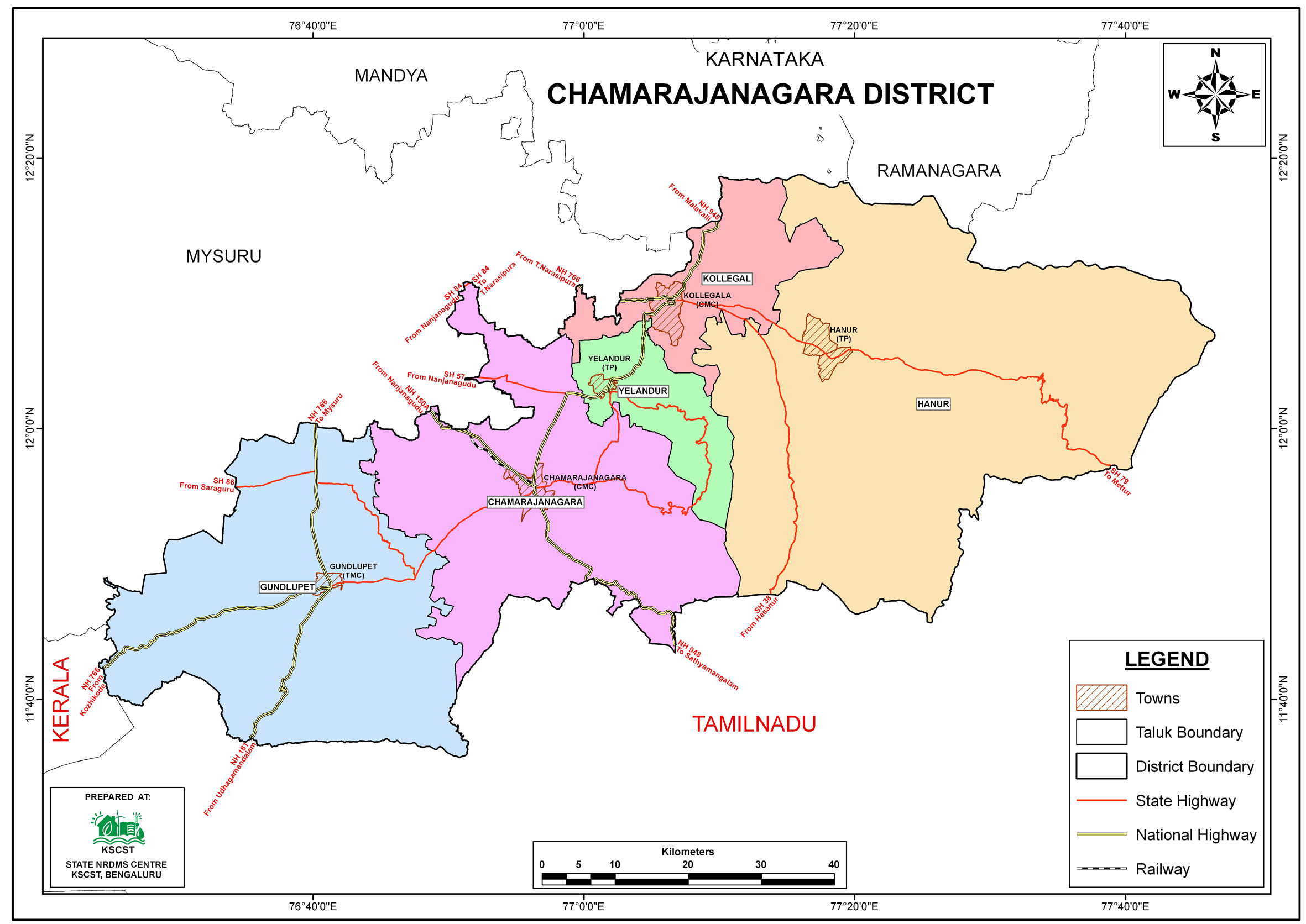
The
Chamarajanagara
district NRDMS Centre was established in the year
2007-2008
at Office of the
Chamarajanagara
Zilla
Panchayath with financial support from Department of Science and
Technology, Government
of India, Implemented by K.S.C.S.T, Bangalore with active
support from Department
of Science &
Technology, Government
of Karnataka. The main objective of the centre is to create
the digital database on Natural resources, Demography, Agro &
Socio economy and infrastructure facilities of the
District to provide analysed information to the district
administrators, Zilla panchayath, line departments, Academic
institutions and NGOs in Natural resources management and
rural development planning with the help of GIS and
other advanced scientific technologies.
Activities carried
out at District NRDMS Centre
-
The primary
objective of District NRDMS Centre under NRDMS Project is to
create Extensive database on Spatial Database (Maps) and Non-Spatial
Database (Attribute data) of Natural Resources, Socio & agro-economic
parameters and Infrastructure facilities of the district
after collating from the line departments and other
organizations and it is been updating regularly based on
nature of availability of data and requirements.
-
Prepared district-level GIS shapefiles for educational
facilities, watershed boundaries, and Gram Panchayat water
tanks using 1:50,000 scale data from DDPI and SOI, stored on
external hard disk.
-
Conducted training for selected 5 Gram Panchayats on Bhuvan
Yukthadara Portal and KGIS Portal for Road Side Plantation
management.
-
Generated district school location maps using GIS and remote
sensing data, and provided outputs in JPG and PDF formats.
-
Yuktdhara Geospatial Planning Portal: Utilized for Gram
Panchayat-level MGNREGA planning, integrating diverse
spatial datasets to facilitate asset management, activity
identification, and location planning using open-source GIS
tools, supported by DoRD and MoRD.
-
Attended training on KGIS Portal for Road Side Plantation
conducted by MGNREGA & KSRSAC at Bengaluru.
-
Conducted training for Forest Department staff on KGIS
Portal for Road Side Plantation .
Activity Report for the
Month April - July 2025
Activity Report for the Month August - November 2025
Activity Report for the Month December 2025 - March 2026
* ~ * ~ *
|


