|
District NRDMS Center, Mandya
O/o Zilla Panchayath, Mandya District - 571401
Introduction
The
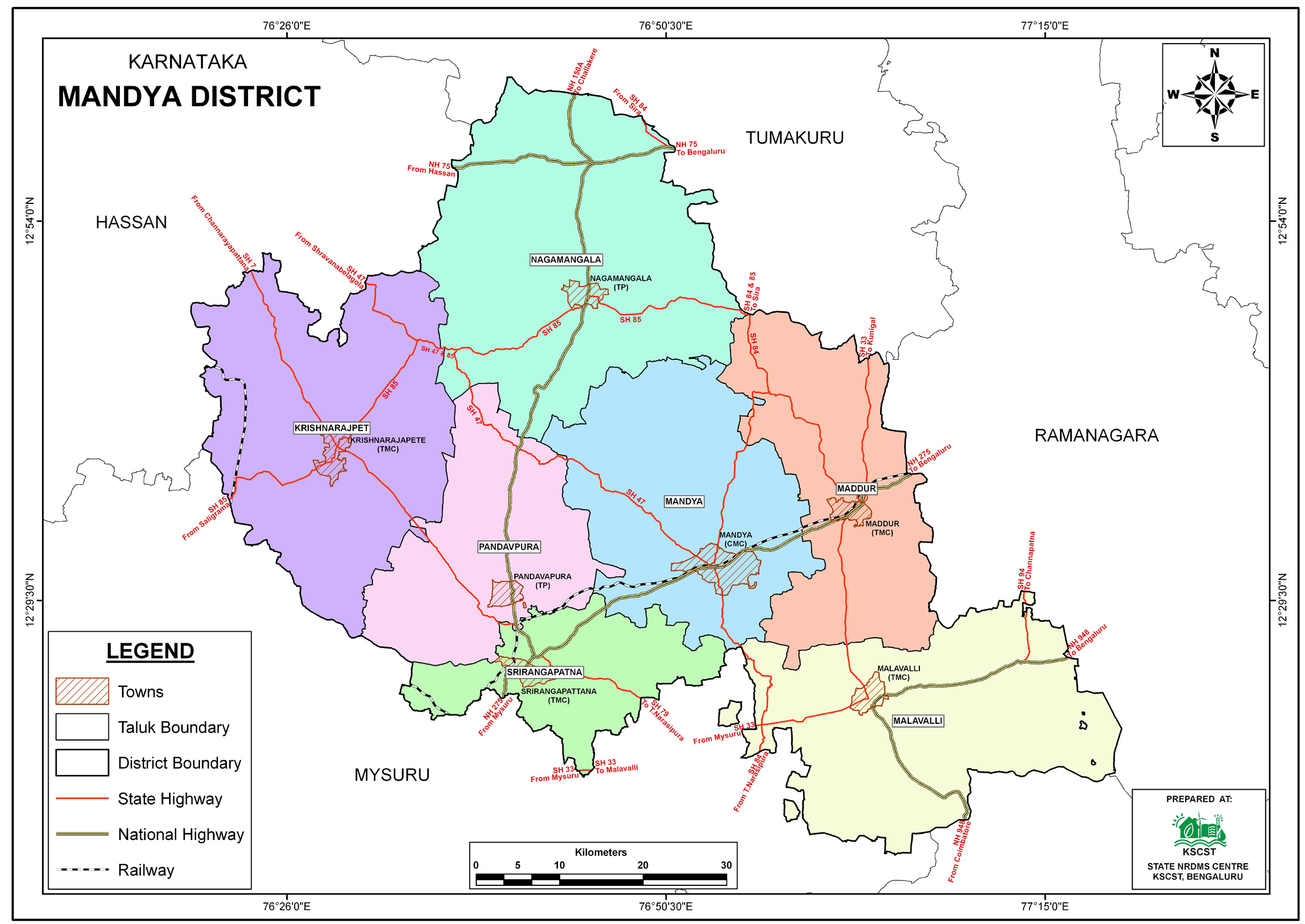
Mandya
district
NRDMS Centre was established in the year 2001-2002
at Office of the Mandya
Zilla
Panchayath with financial support from Department of Science and
Technology, Government
of India, Implemented by K.S.C.S.T, Bangalore with active
support from Department
of Science &
Technology, Government
of Karnataka. The main objective of the centre is to create
the digital database on Natural resources, Demography, Agro &
Socio economy and infrastructure facilities of the
District to provide analysed information to the district
administrators, Zilla panchayath, line departments, Academic
institutions and NGOs in Natural resources management and
rural development planning with the help of GIS and
other advanced scientific technologies.
Activities carried
out at District NRDMS Centre
-
The primary
objective of District NRDMS Centre under NRDMS Project is to
create Extensive database on Spatial Database (Maps) and Non-Spatial
Database (Attribute data) of Natural Resources, Socio & agro-eeconomic
parameters and Infrastructure facilities of the district
after collating from the line departments and other
organizations and it is been updating regularly based on
nature of availability of data and requirements.
-
Police Station
Jurisdictional Mapping: Prepared jurisdictional maps for
Police Stations (S. R. Patna and Pandavapura) to clearly
demarcate the boundaries and villages belonging to each
station
-
Groundwater Prospect Mapping (Nagamangala Taluk): Prepared a
groundwater prospect map for the Gram Panchayats (GP) in
Nagamangala Taluk as a pilot project, aiding in the
identification of groundwater potential zones
-
CESCOM Accounting Unit Map: Collected accounting units data
from CESCOM officials and prepared a jurisdictional map for
CESCOM Mandya Division to visually analyze and locate the
positions of the accounting units
-
KRS GP Assets Mapping: Collected GPS coordinates and primary
data for all individual assets (Anganawadi, Schools,
Colleges, PHC, etc.) of the respective Gram Panchayats and
submitted the resulting assets map to the PA/MLA. This map
aids in planning the construction/implementation of new
assets based on distance analysis
-
Training was conducted for forest officials on the K-GIS
portal at Aranya Bhavan, Mand ya.
Activity Report for the
Month April - July 2025
Activity Report for the Month August - November 2025
Activity Report for the Month December 2025 - March 2026
* ~ * ~ *
|


