|
District NRDMS Center, Dharwad
O/o Zilla Panchayath, Dharwad District - 580001
Introduction
The
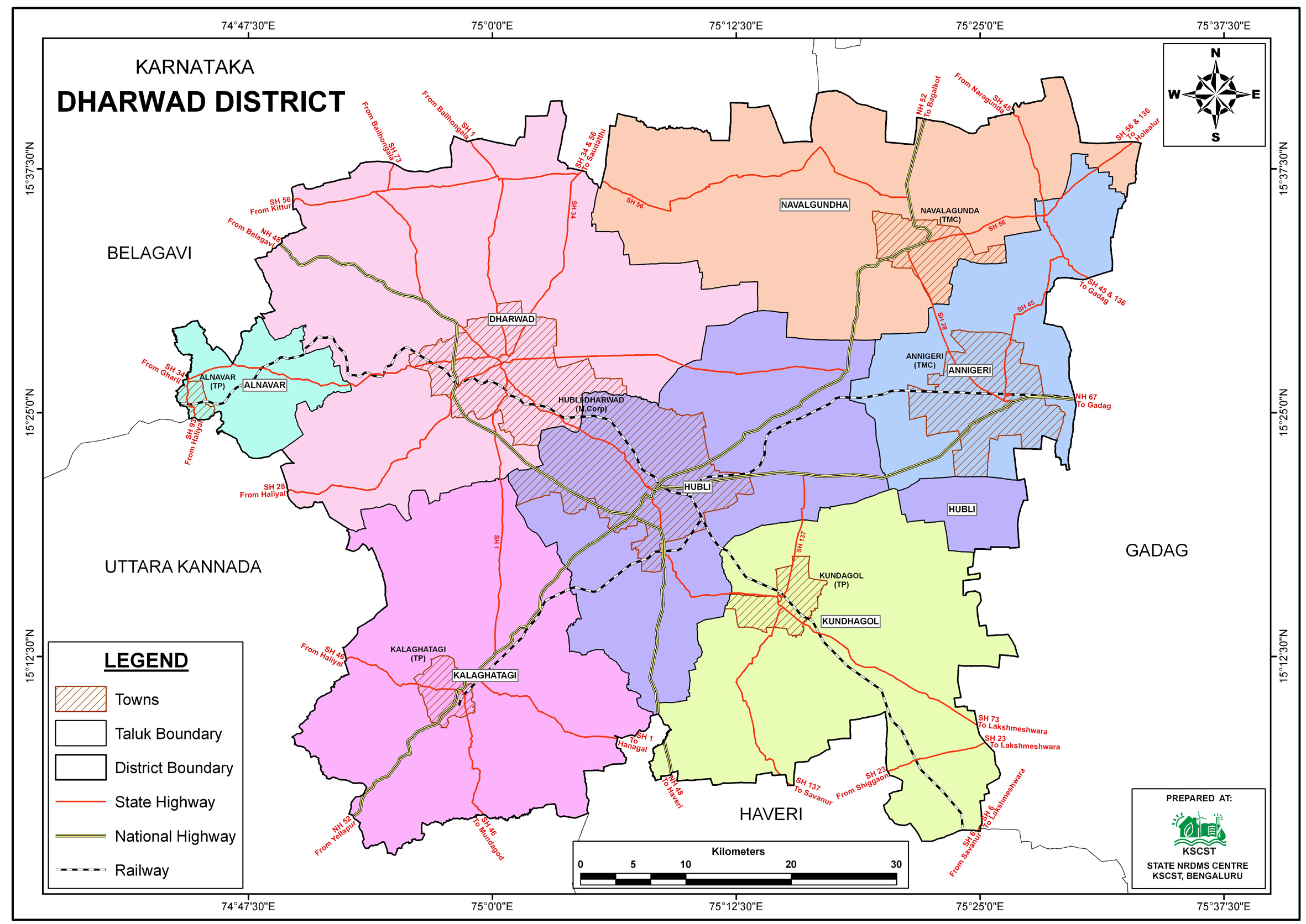
Dharwad
district NRDMS Centre was established in the year
1992-1993
at Office of the Dharwad
Zilla Panchayath with financial support from Department of
Science and Technology, Government
of India, Implemented by K.S.C.S.T, Bangalore with active
support from Department
of Science &
Technology, Government
of Karnataka. The main objective of the centre is to create
the digital database on Natural resources, Demography, Agro &
Socio economy and infrastructure facilities of the
District to provide analysed information to the district
administrators, Zilla panchayath, line departments, Academic
institutions and NGOs in Natural resources management and
rural development planning with the help of GIS and
other advanced scientific technologies.
Activities carried
out at District NRDMS Centre
-
The primary
objective of District NRDMS Centre under NRDMS Project is to
create Extensive database on Spatial Database (Maps) and Non-Spatial
Database (Attribute data) of Natural Resources, Socio & agro-economic
parameters and Infrastructure facilities of the district
after collating from the line departments and other
organizations and it is been updating regularly based on
nature of availability of data and requirements.
-
GP Distance Map Preparation: Prepared a Gram
Panchayat (GP) distance map using Koliwad centre of Hubballi
and Kubihal (Kundagol Taluk) as reference points.
-
Flood
Vulnerability Mapping: Prepared a map of flood-affected
villages along the Bennihalla and Tuprihalla tributaries to
aid in rescue and relief operations (shelter/food
arrangement).
-
Drainage and Population Data: Prepared maps for
Drainage patterns and Population Distribution as requested
by the District Commissioner.
-
Census Administration Support: Demarcated 2032
enumeration blocks, 82 Wards, and 12 Zones for the
Metropolitan Corporation using Google Earth Pro and ArcGIS,
in support of the Chief Census Officers.
-
Trained RCF representatives on the KGIS Web Application
(Roadside Plantation portal) at the District NRDMS Centre.
Activity Report for the
Month April - July 2025
Activity Report for the Month August - November 2025
Activity Report for the Month December 2025 - March
2026
* ~ * ~ *
|


