|
District NRDMS Center, Udupi
O/o Zilla Panchayath, Udupi, Rajathadri, End Point, Manipal,
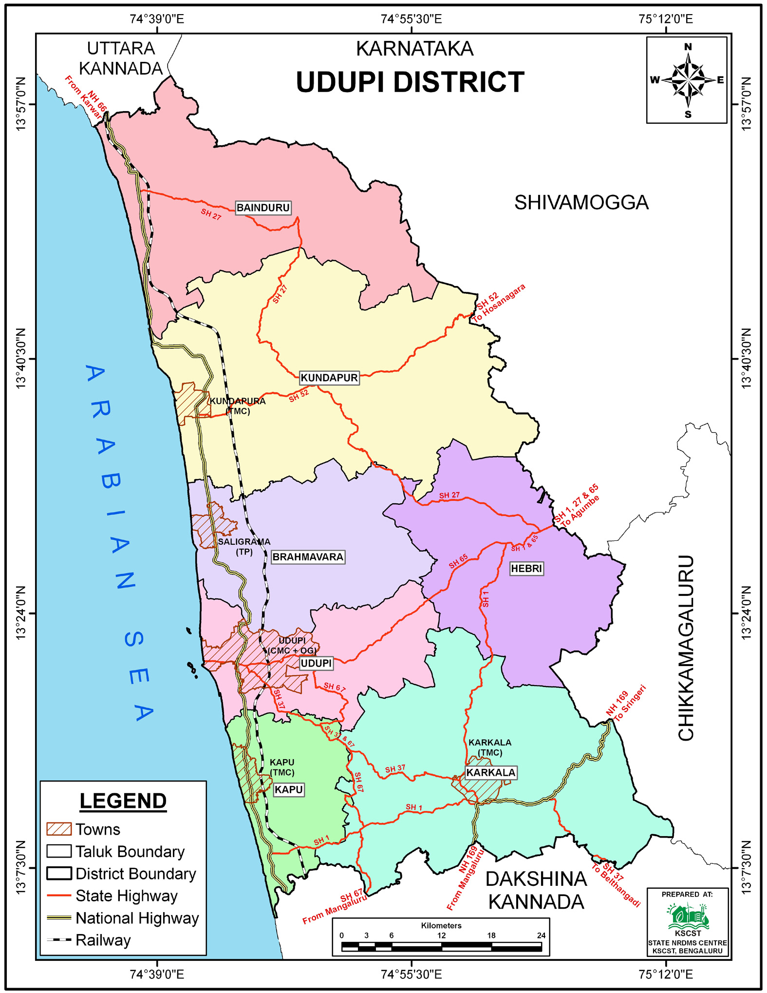
Udupi District, - 576104
Introduction
The
Udupi
district NRDMS Centre was established in the year
2007-2008
at Office of the
Udupi
Zilla Panchayath
with financial support from Department of Science and
Technology, Government
of India, Implemented by K.S.C.S.T, Bangalore with active
support from Department
of Science &
Technology, Government
of Karnataka. The main objective of the centre is to create
the digital database on Natural resources, Demography, Agro &
Socio economy and infrastructure facilities of the
District to provide analysed information to the district
administrators, Zilla panchayath, line departments, Academic
institutions and NGOs in Natural resources management and
rural development planning with the help of GIS and
other advanced scientific technologies.
Activities carried
out at District NRDMS Centre
-
The primary
objective of District NRDMS Centre under NRDMS Project is to
create Extensive database on Spatial Database (Maps) and Non-Spatial
Database (Attribute data) of Natural Resources, Socio & agro-economic
parameters and Infrastructure facilities of the district
after collating from the line departments and other
organizations and it is been updating regularly based on
nature of availability of data and requirements.
Location Map of Koraga Community, Udupi District: Prepared
GIS maps showing geographic and demographic details of the
Koraga community using district, Taluk, and village
boundaries, based on data from the ITDP department, to
support SCST Cell programs for economic development.
Bus Service Route Map, Udupi District: Prepared route maps
of KSRTC bus services using district and Taluk boundaries
and route location data provided by the RTO, and submitted
to the Deputy Commissioner and RTO offices, Udupi.
Location Map of Villages Affected by Mines (5 KM Buffer),
Udupi: Prepared maps and lists of villages within a 5 km
buffer of mine locations using Taluk and village boundaries
and mine data from DMG, applying GIS geoprocessing and clip
tools, and submitted to the CEO, Zilla Panchayat for
effective District Mines Fund implementation.
Location Map of Sand Blocks, Udupi District: Prepared maps
marking sand block locations along with streams using
district and Taluk boundaries, based on data provided by the
Department of Mines & Geology, and submitted for further
action.
Location Map for Faecal Sludge Management (15 KM Buffer),
Udupi: Prepared maps and lists of Gram Panchayats within a
15 km buffer using Taluk and village boundaries and buffer
data from SBM.
Activity Report for the
Month April - July 2025
Activity Report for the Month August - November 2025
Activity Report for the Month December 2025 - March 2026
* ~ * ~ *
|


