|
District NRDMS Center, Koppal
O/o Zilla Panchayath, Koppal District - 583231
Introduction
The
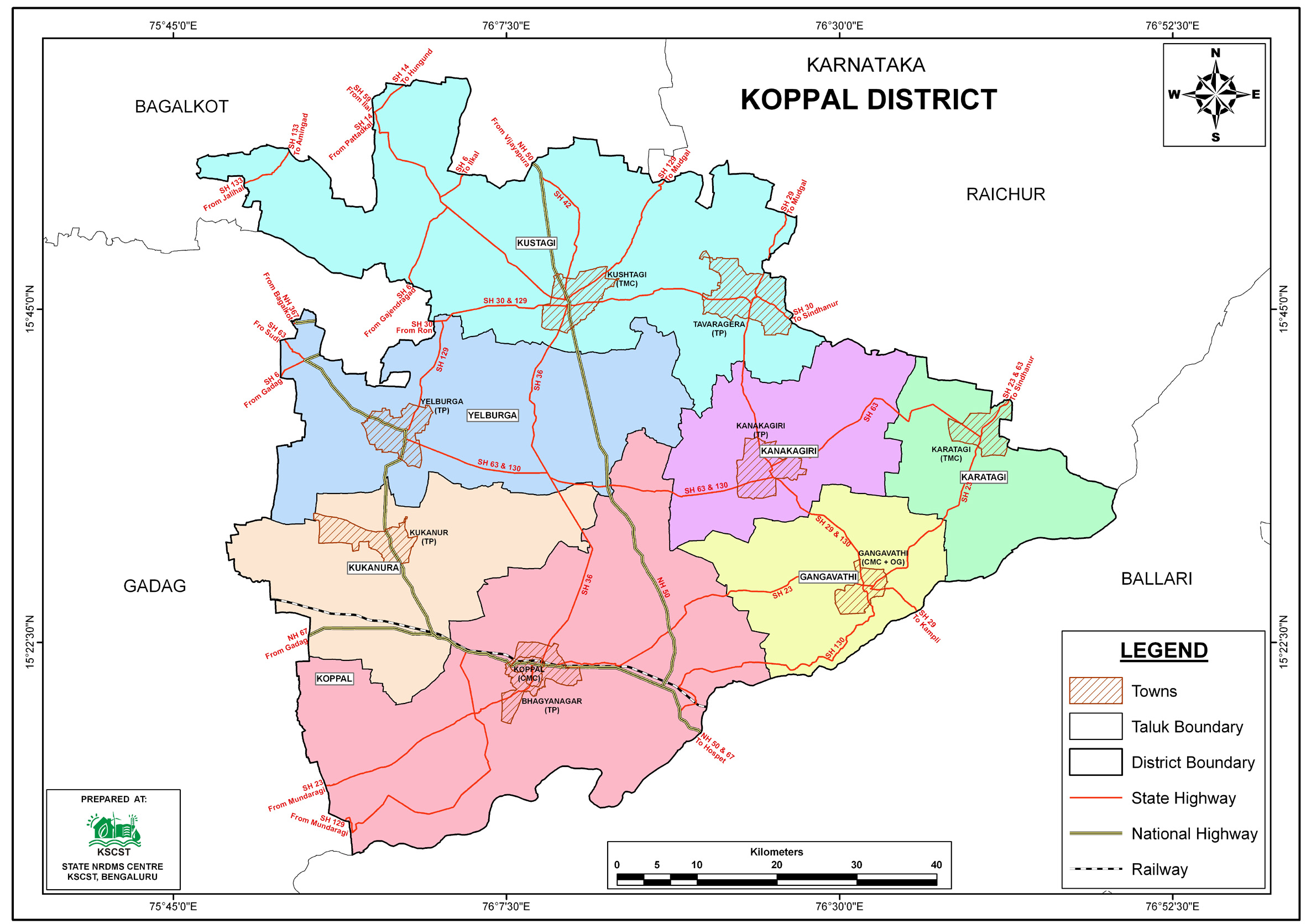
Koppal
district NRDMS Centre was established in the year
2007-2008
at Office of the
Koppal
Zilla
Panchayath with financial support from Department of Science and
Technology, Government
of India, Implemented by K.S.C.S.T, Bangalore with active
support from Department
of Science &
Technology, Government
of Karnataka. The main objective of the centre is to create
the digital database on Natural resources, Demography, Agro &
Socio economy and infrastructure facilities of the
District to provide analysed information to the district
administrators, Zilla panchayath, line departments, Academic
institutions and NGOs in Natural resources management and
rural development planning with the help of GIS and
other advanced scientific technologies.
Activities carried
out at District NRDMS Centre
-
The primary
objective of District NRDMS Centre under NRDMS Project is to
create Extensive database on Spatial Database (Maps) and Non-Spatial
Database (Attribute data) of Natural Resources, Socio & agro-economic
parameters and Infrastructure facilities of the district
after collating from the line departments and other
organizations and it is been updating regularly based on
nature of availability of data and requirements.
-
Tuberculosis Mapping: Prepared Gram Panchayat-wise
tuberculosis maps of PER & CNR for Koppal district to
identify affected areas and support interventions. Data used
included Taluk and GP boundaries, and ULB information.
-
Groundwater Assessment in Koppal District: Conducted
pre-monsoon studies to identify fluoride-affected areas and
post-monsoon studies to assess groundwater levels by
analyzing borewell locations using Taluk boundaries, IDW
tools, and Excel data, supporting targeted interventions for
water quality and availability management.
-
Identified and mapped vehicle parking locations in Koppal
district for the Hon’ble Chief Minister’s visit using Google
Earth, ArcGIS, and Excel data to ensure security and smooth
public.
-
Administrative Maps Preparation: Created revised thematic
maps of police stations, circles, and sub-divisions in
Koppal district using Taluk and village boundaries, ArcGIS,
and Excel data to aid in law and order management and sector
creation during elections.
-
Flood Hazard Mapping: Prepared thematic maps in Koppal
district using Taluk and village boundaries, ArcGIS, and
Excel data to assess potential loss of life, injury, and
economic impact from future flood events, considering flood
behavior, topography, and emergency management factors.
-
Koppal Fort Map: Prepared a detailed map of Koppal Fort area
to support its development and management initiatives.
-
Hanmanal GP Micro Watershed Map: Prepared a map of the
micro-watershed under Hanmanal Gram Panchayat, Kushtagi
Taluk, to support scientific planning for groundwater
development.
-
Village Settlement Maps: Prepared maps showing the spatial
distribution of rural settlements in Koppal district as part
of a geographical analysis for M.Sc. degree requirements
under the guidance of Karnataka University, Dharwad .
Activity Report for the
Month April - July 2025
Activity Report for the Month August - November 2025
Activity Report for the Month December 2025 - March 2026
* ~ * ~ *
|


