|
District NRDMS Center, Haveri
O/o Zilla Panchayath, Haveri District - 581110
Introduction
The
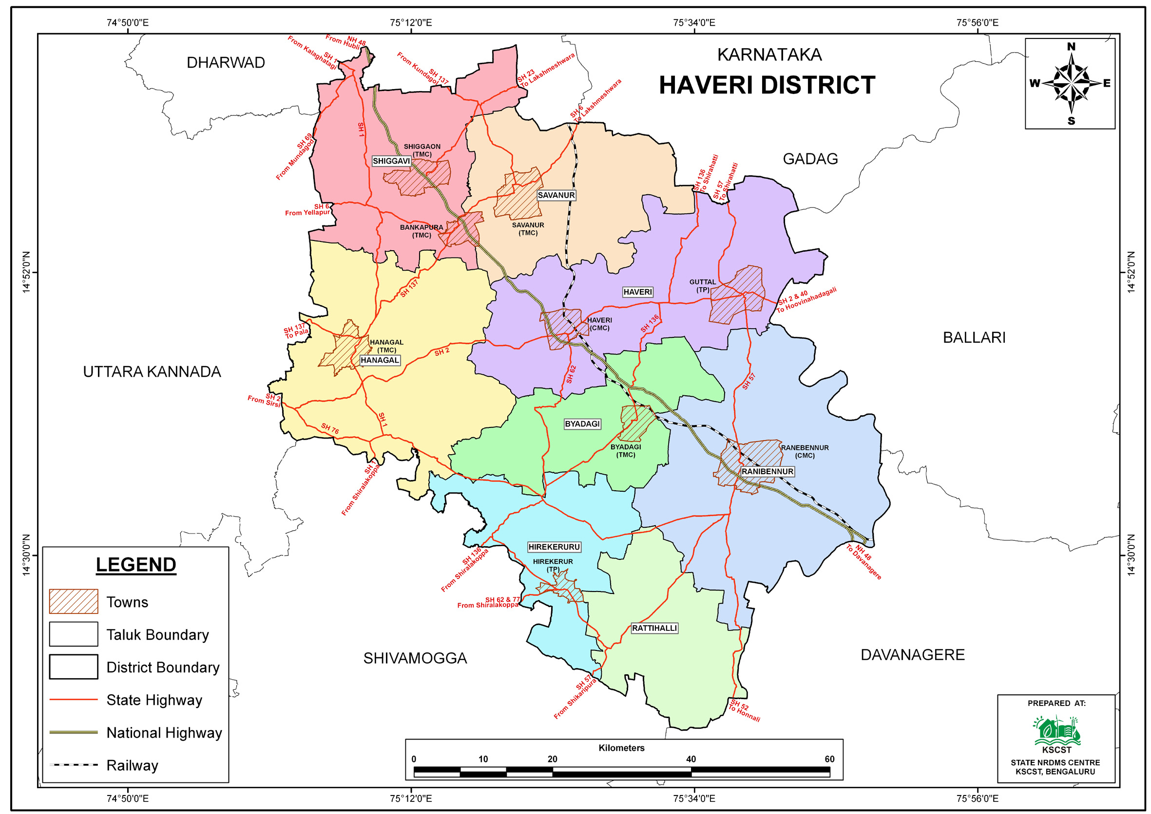
Haveri
district NRDMS Centre was established in the year
2007-2008
at Office of the Haveri
Zilla
Panchayath with financial support from Department of Science and
Technology, Government
of India, Implemented by K.S.C.S.T, Bangalore with active
support from Department
of Science &
Technology, Government
of Karnataka. The main objective of the centre is to create
the digital database on Natural resources, Demography, Agro &
Socio economy and infrastructure facilities of the
District to provide analysed information to the district
administrators, Zilla panchayath, line departments, Academic
institutions and NGOs in Natural resources management and
rural development planning with the help of GIS and
other advanced scientific technologies.
Activities carried
out at District NRDMS Centre
-
The primary
objective of District NRDMS Centre under NRDMS Project is to
create Extensive database on Spatial Database (Maps) and Non-Spatial
Database (Attribute data) of Natural Resources, Socio & agro-economic
parameters and Infrastructure facilities of the district
after collating from the line departments and other
organizations and it is been updating regularly based on
nature of availability of data and requirements.
-
Prepared a map of blanket-producing taluks in Dharwad,
Haveri, and Gadag districts to support the Geographical
Indication (GI) registration of “Ranebennur Blanket”, aiding
the Handloom and Textiles Department in planning and
promotion activities.
-
Prepared a location map of sand mining sites in Haveri
District using data from the Department of Mines and Geology
to support effective management and distribution of sand
resources through identified stack yards and check posts.
-
Prepared a flood vulnerability map of villages and towns in
Haveri District to assist the District Administration in
disaster mitigation, early planning, and implementation of
precautionary measures under the District Disaster
Management Plan.
-
Prepared and submitted GIS-based Land Use–Land Cover and
Water Bodies maps to the NVBDCP Office, Haveri, to support
climate change and human health action planning for malaria
control and environmental management.
-
Developed a Power BI dashboard for the Zilla Panchayat,
Haveri, to monitor NRLM Community Investment Fund (CIF)
releases, loans, and interest details at the GPLF level
using integrated Google Sheet data and GP boundary layers.
Activity Report for the
Month April - July 2025
Activity Report for the Month August - November 2025
Activity Report for the Month December 2025 - March 2026
* ~ * ~ *
|


