|
District NRDMS Center,
Chitradurga
O/o Zilla Panchayath, Chitradurga District - 577501
Introduction
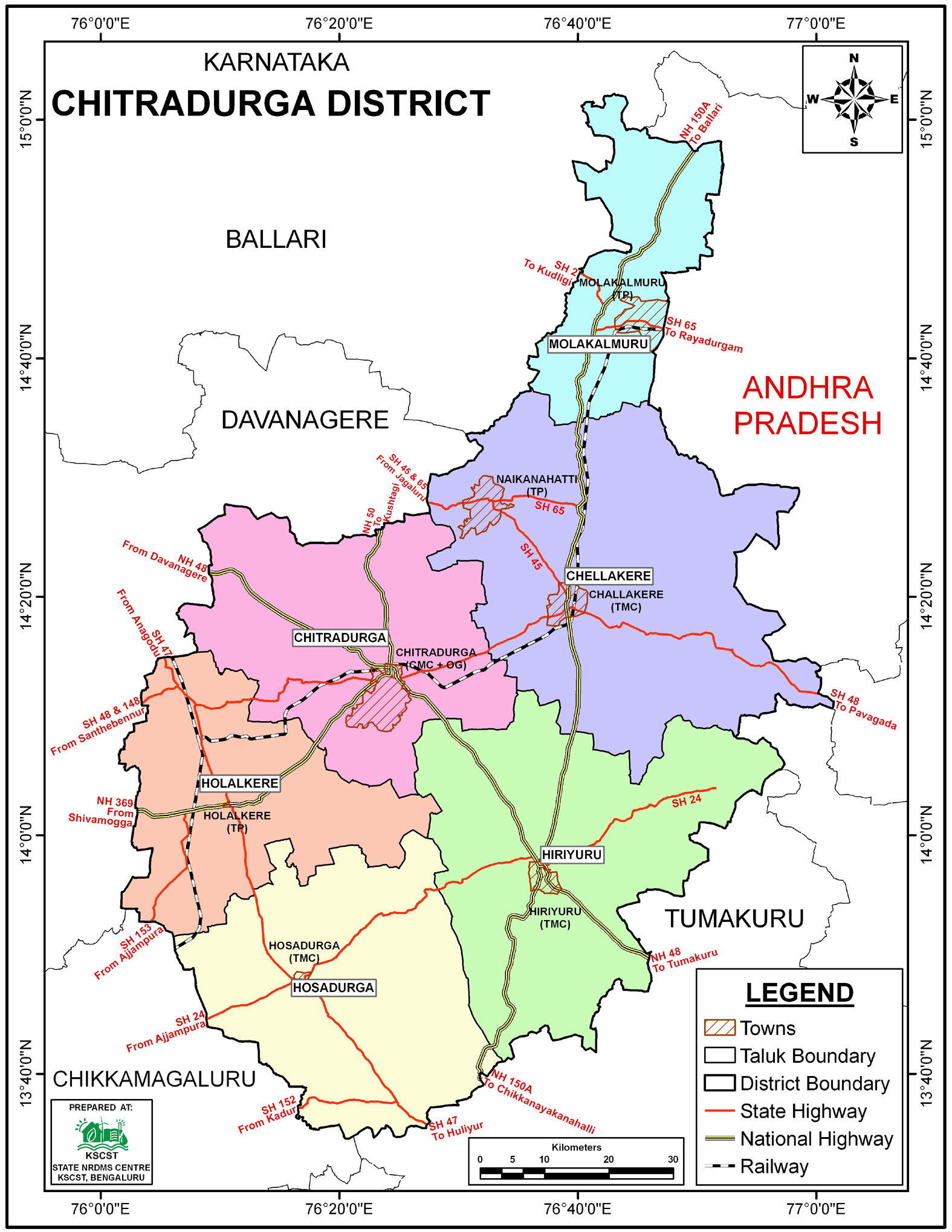
The
Chitradurga
district NRDMS Centre was established in the year
2006-2007
at Office of the
Chitradurga
Zilla
Panchayath with financial support from Department of Science and
Technology, Government
of India, Implemented by K.S.C.S.T, Bangalore with active
support from Department
of Science &
Technology, Government
of Karnataka. The main objective of the centre is to create
the digital database on Natural resources, Demography, Agro &
Socio economy and infrastructure facilities of the
District to provide analysed information to the district
administrators, Zilla panchayath, line departments, Academic
institutions and NGOs in Natural resources management and
rural development planning with the help of GIS and
other advanced scientific technologies.
Activities carried
out at District NRDMS Centre
-
The primary
objective of District NRDMS Centre under NRDMS Project is to
create Extensive database on Spatial Database (Maps) and Non-Spatial
Database (Attribute data) of Natural Resources, Socio & agro-economic
parameters and Infrastructure facilities of the district
after collating from the line departments and other
organizations and it is been updating regularly based on
nature of availability of data and requirements.
-
Advanced Geospatial Techniques: The Centre employed Drone
and LiDAR mapping, IoT-enabled monitoring, and GIS-based
encroachment detection for resource management activities in
Chitradurga.
-
Water Resource Mapping and Analysis: Prepared Depth to Water
Level maps for Pre-Monsoon, Monsoon, and Post-Monsoon 2024.
Additionally, they performed flow-affected area analysis for
Vani Vilasa Sagara Reservoir, specifically identifying
issues like siltation, sand deposition, and stream bank
erosion.
-
Data Integration and Deliverables: Compiled and provided
borewell data and taluk/district boundary maps for MGNREGA
and FES projects, supporting actionable planning for
resource conservation and management.
-
Comprehensive Geospatial Data Development: The NRDMS Centre
develops and maintains comprehensive spatial datasets
including land use/land cover, drainage, contour, water
bodies, and settlement maps, which are crucial for
district-level technical and planning purposes and
supporting hazard mitigation.
-
Adoption of Next-Generation Mapping Technologies: Utilized
cutting-edge tools including Drone and LiDAR mapping and
IoT-enabled monitoring, alongside GIS-based methods, for
applications like encroachment detection and resource
management .
Activity Report for the
Month April - July 2025
Activity Report for the Month August - November 2025
Activity
Report for the Month December 2025 - March 2026
* ~ * ~ *
|


