|
District NRDMS Center, Bidar
O/o Zilla Panchayath, Bidar District - 585401
Introduction
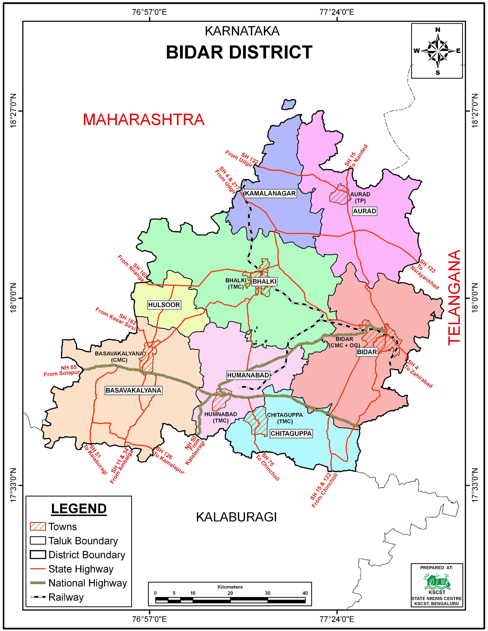
The
Bidar
district NRDMS Centre was established in the year
2006-2007
at Office of the Bidar
Zilla Panchayath with financial support from Department of
Science and Technology, Government
of India, Implemented by K.S.C.S.T, Bangalore with active
support from Department of Science &
Technology, Government
of Karnataka. The main objective of the centre is to create
the digital database on Natural resources, Demography, Agro &
Socio economy and infrastructure facilities of the
District to provide analysed information to the district
administrators, Zilla panchayath, line departments, Academic
institutions and NGOs in Natural resources management and
rural development planning with the help of GIS and
other advanced scientific technologies.
Activities carried
out at District NRDMS Centre
-
The primary
objective of District NRDMS Centre under NRDMS Project is to
create Extensive database on Spatial Database (Maps) and Non-Spatial
Database (Attribute data) of Natural Resources, Socio & agro-economic
parameters and Infrastructure facilities of the district
after collating from the line departments and other
organizations and it is been updating regularly based on
nature of availability of data and requirements.
-
The major activity carried
out was the "Location of Tanks and Identification of Tank
Area More than 2.25ha" for the Bidar Zilla Panchayat, with
the objective of Action Planning and Renovation Activity for
effective water resource management and conservation, using
Village Boundary, Tank Location, and Google Imagery
-
The project was conducted for the CMC Office, Bidar, to map
Block Boundaries and Property Assets using Ward Boundary and
Google Satellite Imagery, with the goal of eliminating
manual processes for data analysis to save time, improve
efficiency, and identify optimal sites for new developments.
-
the Preparation of a TB Rate village-wise Map for the Health
Department, TB Center, Bidar, with the objective of using
the disease maps to identify specific high-risk geographic
locations where TB transmission is most prevalent, in order
to efficiently allocate resources and prioritize
intervention.
-
the Police Department, Bidar, to map Police Station
Jurisdiction and Beats using village boundaries and asset
locations, with the objective of defining clear
jurisdictional boundaries to prevent confusion, organize
officer deployment, and ultimately improve police
operations, resource allocation, and public safety.
-
The project, titled "Mapping of Bidar district Upgraded Road
network from VR to DR, DR to SH" for the Zilla Panchayat,
Bidar (PRED), aims to provide accurate, real-time data to
identify gaps in the road network and support the design of
new infrastructure projects.
-
"Mapping of Bidar district Upgraded Road network from VR to
DR, DR to SH" for the Zilla Panchayat, Bidar (PRED), aims to
provide accurate, real-time data to identify gaps in the
road network and support the design of new infrastructure
projects.
-
Asset Mapping and Updation for the Zilla Panchayat, Bidar,
focusing on public assets like Health Facilities, Govt High
Schools, and Special Schools by integrating their locations
into Google Maps using Taluk/Village/Road data, with the
primary objective of improving navigation, visibility (for
clinics),
and facility management to help the public
(patients, students, newcomers) find these critical services
easily.
Activity Report for the
Month April - July 2025
Activity Report for the Month August - November 2025
Activity Report for the Month December 2025 - March 2026
* ~ * ~ *
|


