|
District NRDMS Center, Kodagu
O/o Zilla Panchayath, Kodagu District - 571201
Introduction
The
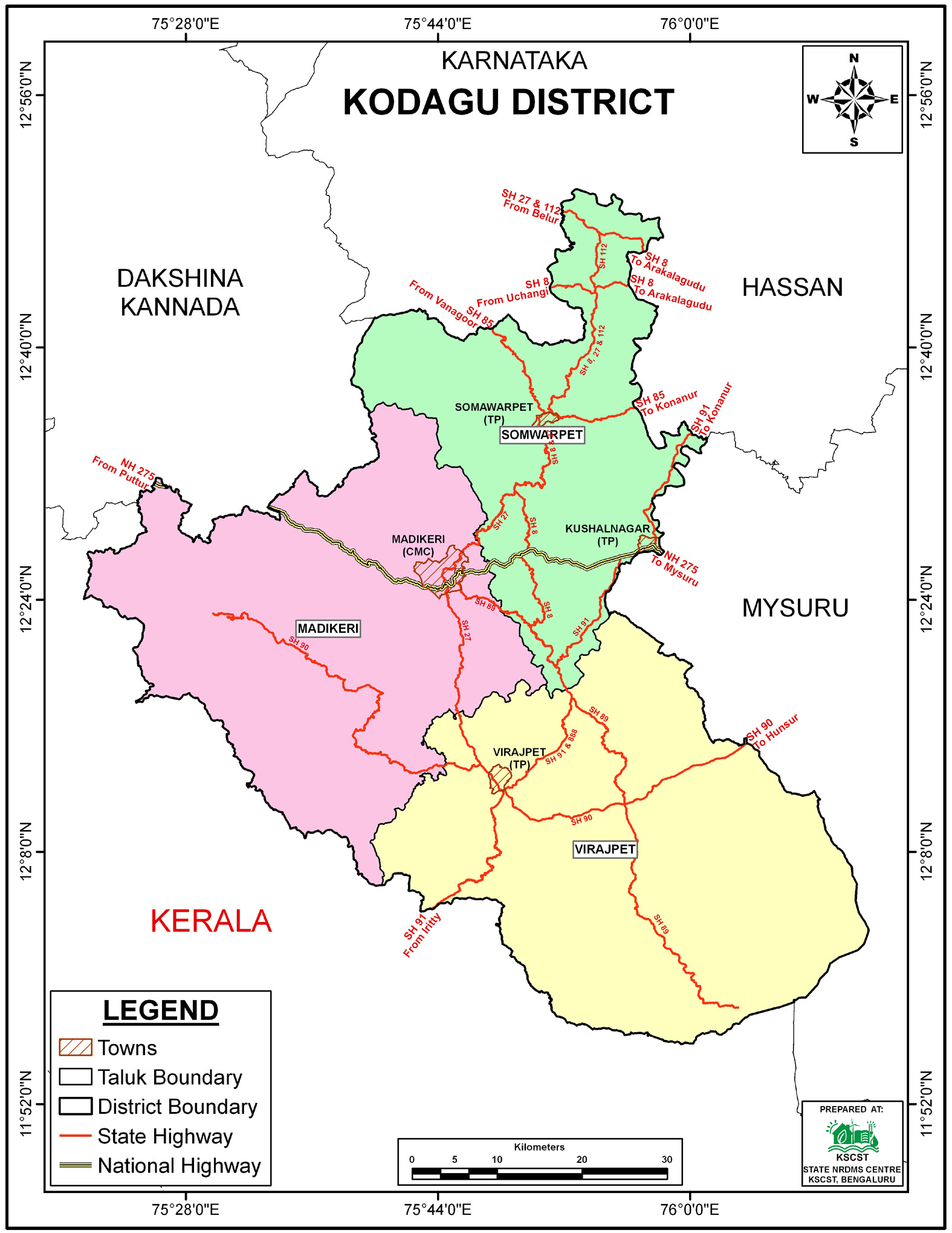
Kodagu district
NRDMS Centre was established in the year 2001-2002
at Office of the
Kodagu Zilla
Panchayath with financial support from Department of Science and
Technology, Government
of India, Implemented by K.S.C.S.T, Bangalore with active
support from Department
of Science &
Technology, Government
of Karnataka. The main objective of the centre is to create
the digital database on Natural resources, Demography, Agro &
Socio economy and infrastructure facilities of the
District to provide analysed information to the district
administrators, Zilla panchayath, line departments, Academic
institutions and NGOs in Natural resources management and
rural development planning with the help of GIS and
other advanced scientific technologies.
Activities carried
out at District NRDMS Centre
-
The primary
objective of District NRDMS Centre under NRDMS Project is to
create Extensive database on Spatial Database (Maps) and Non-Spatial
Database (Attribute data) of Natural Resources, Socio & agro-eeconomic
parameters and Infrastructure facilities of the district
after collating from the line departments and other
organizations and it is been updating regularly based on
nature of availability of data and requirements.
-
The NRDMS Centre performed a taluk-wise Human Development
Index (HDI) analysis for Kodagu district for the
Planning Section, revealing overall progress driven strongly
by education, improved living standards, and better
infrastructure, leading to balanced development and reduced
disparities.
-
The Landslide Vulnerability Area Map was prepared as part of
the NRDMS Centre's activities, in collaboration with the
District Disaster Management Authority (DDMA), Kodagu.
-
Flood Susceptibility Map: This map demarcates Flood
Susceptibility Zones based on geomorphological and
hydrological features, primarily highlighting red-colored
flood-prone areas concentrated along river valleys and
low-lying regions.
-
Cauvery River Buffer Map: Developed to
the District Disaster Management Authority (DDMA), this map
delineates a 500-meter buffer zone along the Cauvery River.
It integrates satellite imagery with critical data
(flood-affected areas, settlements, taluk boundaries) and
demographic Census data to plan evacuation routes, resource
allocation, and mitigation strategies in flood-prone areas.
Activity Report for the
Month April - July 2025
Activity Report for the Month August - November 2025
Activity Report for the Month December 2025 - March 2026
* ~ * ~ *
|


