|
District NRDMS Center, Belagavi
O/o Zilla Panchayath, Belagavi District - 590001
Introduction
The
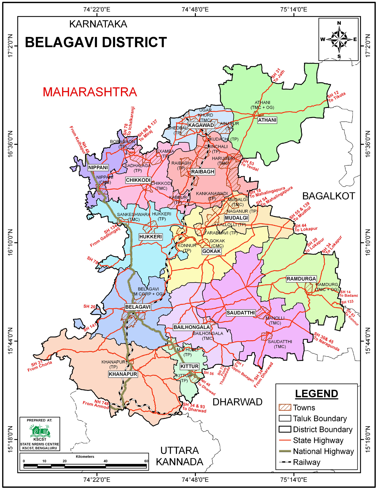
Belagavi
district NRDMS Centre was established in the year
1994-1995
at Office of the
Belagavi
Zilla Panchayath with financial support from Department of
Science and Technology, Government
of India, Implemented by K.S.C.S.T, Bangalore with active
support from Department
of Science &
Technology, Government
of Karnataka. The main objective of the centre is to create
the digital database on Natural resources, Demography, Agro &
Socio economy and infrastructure facilities of the
District to provide analysed information to the district
administrators, Zilla panchayath, line departments, Academic
institutions and NGOs in Natural resources management and
rural development planning with the help of GIS and
other advanced scientific technologies.
Activities carried
out at District NRDMS Centre
-
The primary
objective of District NRDMS Centre under NRDMS Project is to
create Extensive database on Spatial Database (Maps) and Non-Spatial
Database (Attribute data) of Natural Resources, Socio & agro-economic
parameters and Infrastructure facilities of the district
after collating from the line departments and other
organizations and it is been updating regularly based on
nature of availability of data and requirements.
-
Preparation of Maps for NRM Works: Maps were prepared on the
direction of the Honorable CEO Sir (Chief Executive Officer
Zilla panchayath Belagavi) for NRM (Natural Resource
Management) works of MGNREGA (Mahatma Gandhi National Rural
Employment Guarantee Act).
-
New Revenue Village Mapping (Hosa Kandaya Grama)
-
NRDMS and RWS Department visited Nandagad Village and
collected the primary source of information, including:
GPS Coordinates, Geo tagged Photos
-
Thematic Overlays: Arcgis 10.1 Software was used to overlay
thematic layers (like Drainage thematic layer, cadastral
thematic layer) onto the satellite image and demarcate the
watershed area.
-
Gray
Water Flow Suggestion: A new line for Gray water flow is
suggested with the help of drainage flow and slope data.
(This point is likely a continuation of the technical report
on the Nandagad Tank
Activity Report for the
Month April - July 2025
Activity Report for the
Month August - November 2025
Activity Report for the Month December 2025 - March
2026
* ~ * ~ *
|


