|
District NRDMS Center,
Uttara Kannada
O/o Zilla Panchayath, Uttara
Kannada District - 581301
Introduction
The
Uttara Kannada
district NRDMS Centre was established in the year
1993-1994
at Office of the
Uttara Kannada
Zilla Panchayath with financial support from Department of
Science and Technology, Government
of India, Implemented by K.S.C.S.T, Bangalore with active
support from Department
of Science &
Technology, Government
of Karnataka. The main objective of the centre is to create
the digital database on Natural resources, Demography, Agro &
Socio economy and infrastructure facilities of the
District to provide analysed information to the district
administrators, Zilla panchayath, line departments, Academic
institutions and NGOs in Natural resources management and
rural development planning with the help of GIS and
other advanced scientific technologies.
Activities carried
out at District NRDMS Centre
-
The primary
objective of District NRDMS Centre under NRDMS Project is to
create Extensive database on Spatial Database (Maps) and Non-Spatial
Database (Attribute data) of Natural Resources, Socio & agro-economic
parameters and Infrastructure facilities of the district
after collating from the line departments and other
organizations and it is been updating regularly based on
nature of availability of data and requirements.
-
Kaiga Project Buffer Mapping: Comprehensive 16 km buffer
maps were created, including mapping for GPs and Villages,
Roads and waterbodies, Ankola Taluk & Karwar Taluk, and
Joida taluk & Yellapur Taluk.
-
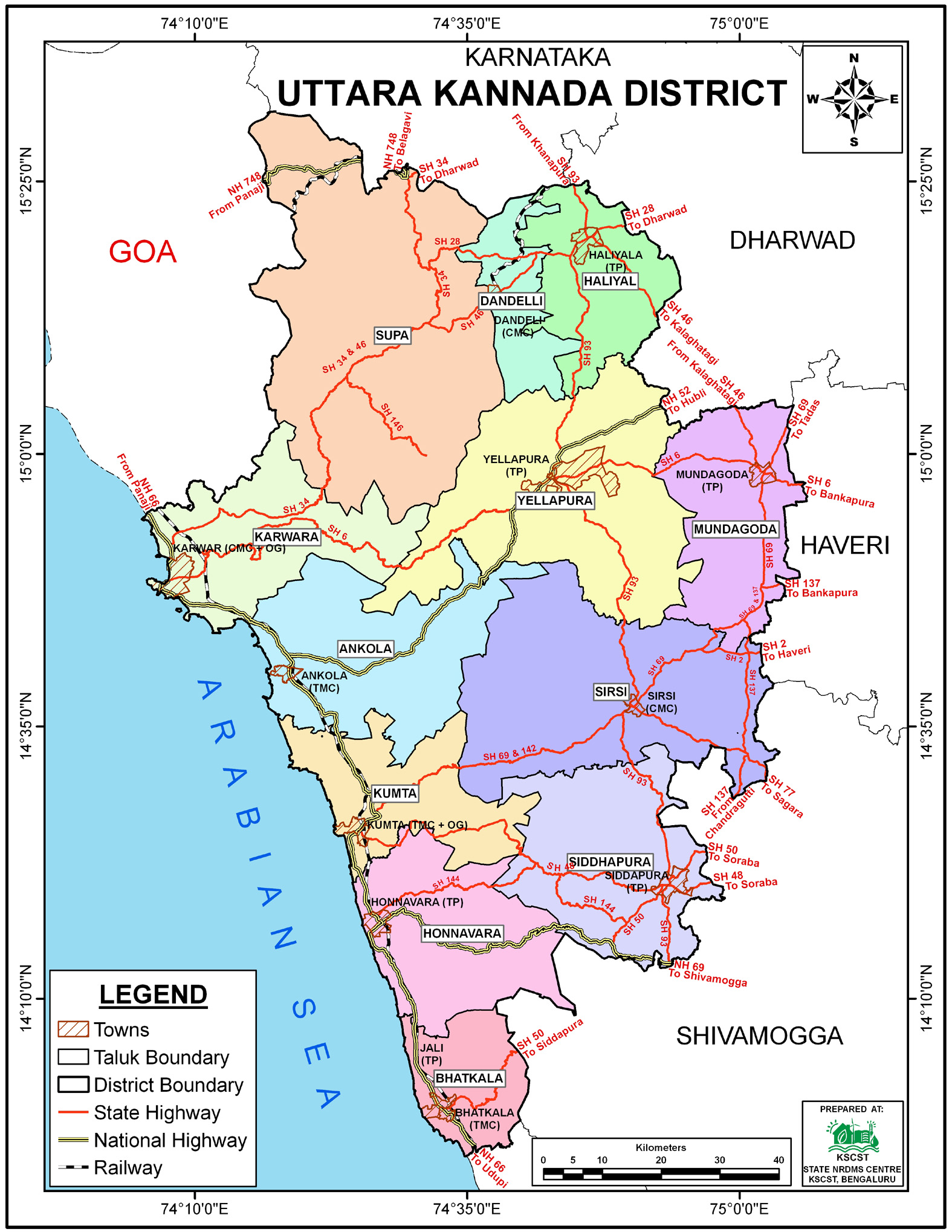
District Level
Mapping: Prepared and submitted the District Administrative
Map, District DEM Map (Digital Elevation Model), and
District Territorial Waters Boundary Map to the DC Office.
-
GI Tag Documentation: Conducted geospatial field work and
documentation to support the Geographical Indication (GI)
Tag application for Rani Yele and Queen Pepper.
-
Electoral Map Modification: Carried out Polling Station and
Booth modification work and data updating for Karwar and
Ankola taluks.
-
Health Infrastructure Map: Submitted the Katgal Primary
Health Centre (PHC) Map to the PHC Katgal.
-
Police
Beat Maps: Created and submitted detailed Police Beat Maps
for operational areas, including: Chitakula Left/Right,
Ghadsai, Asnoti, Mudgeri, and Majali Left/Right beats.
Uttara Kannada 2009 Report
Activity Report for the
Month April - July 2025
Activity Report for the
Month August - November 2025
Activity Report for the Month December 2025 - March
2026
* ~ * ~ *
|


