|
District NRDMS Center, Mysuru
O/o Vijayapura Zilla Panchayath, Mysuru District - 570005
Introduction
The
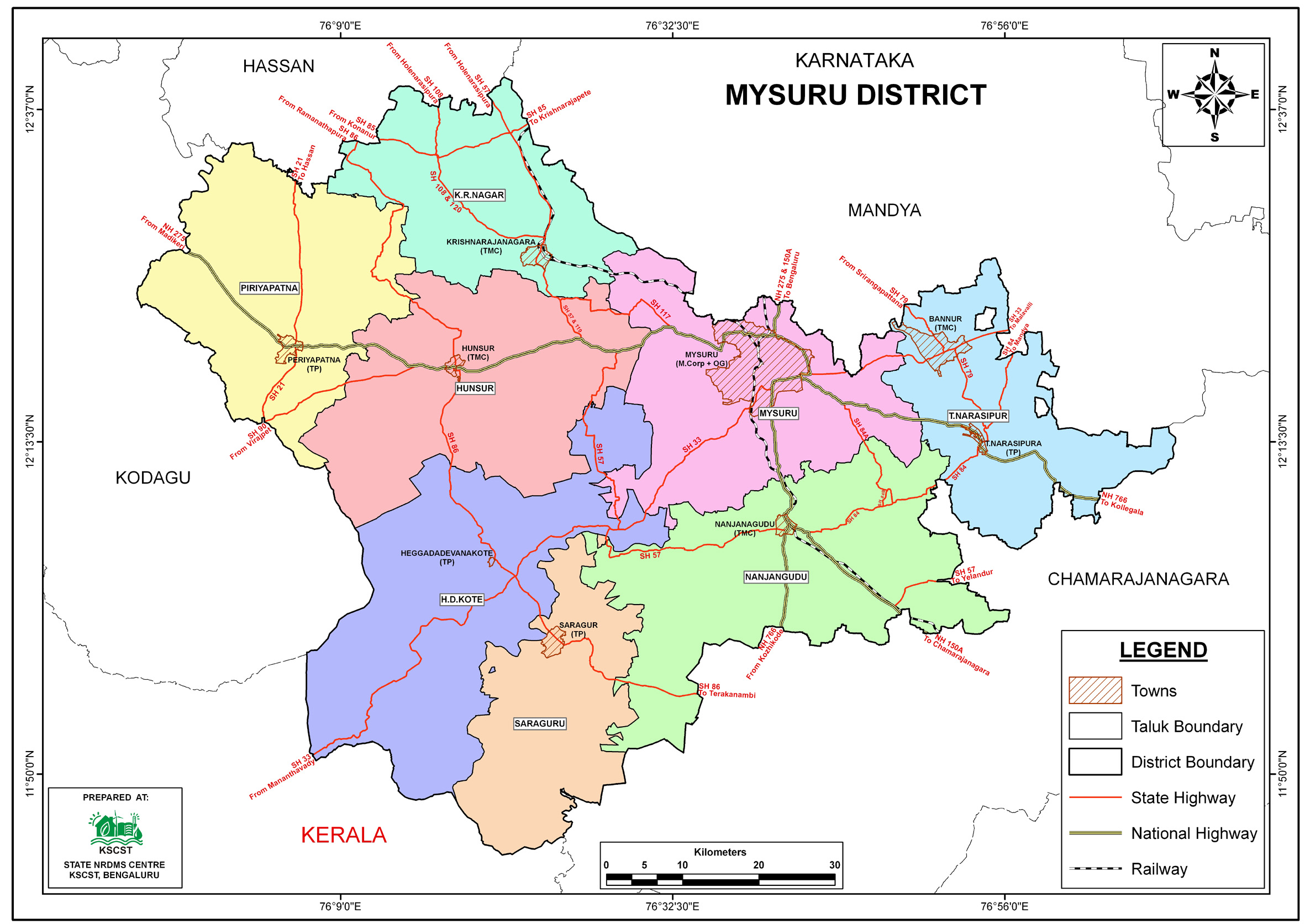
Mysuru
district NRDMS Centre was established in the year
1992-1993
at Office of the Mysuru
Zilla Panchayath with financial support from Department of
Science and Technology, Government
of India, Implemented by K.S.C.S.T, Bangalore with active
support from Department of Science &
Technology, Government
of Karnataka. The main objective of the centre is to create
the digital database on Natural resources, Demography, Agro &
Socio economy and infrastructure facilities of the
District to provide analysed information to the district
administrators, Zilla panchayath, line departments, Academic
institutions and NGOs in Natural resources management and
rural development planning with the help of GIS and
other advanced scientific technologies.
Activities carried
out at District NRDMS Centre/span>
-
The primary
objective of District NRDMS Centre under NRDMS Project is to
create Extensive database on Spatial Database (Maps) and Non-Spatial
Database (Attribute data) of Natural Resources, Socio & agro-economic
parameters and Infrastructure facilities of the district
after collating from the line departments and other
organizations and it is been updating regularly based on
nature of availability of data and requirements.
-
Mapped the extended jurisdiction of Mysuru city as per a
gazette notification, providing the resulting PDF map to the
Mysuru City Corporation (MCC) and the DC Office, Mysuru
District.
-
Mapped Fluoride
endemic villages for the District Health & Family Welfare
Department to help strengthen prevention and control of
fluorosis by showing the problem's geographical spread.
-
Prepared maps for the Disaster Management Cell, DC Office to
locate vulnerable areas in Mysuru district by identifying
and mapping Hazard Identified Villages.
-
Prepared maps of bridges in Mysuru district for the Disaster
Management Cell, DC Office to help locate vulnerable areas
where bridges are prone to submerging during floods.
-
Mapped Major Accident Hazard Industries for the
Disaster Management Cell, DC Office, to locate vulnerable
areas and update the Mysuru District Disaster Management
Plan 2025-26; the maps were also utilized during
presentations for a NDMA Delhi Visit.
Activity Report for the
Month April - July 2025
Activity Report for the Month August - November 2025
Activity Report for the Month December 2025 - March
2026
* ~ * ~ *
|


